On 2 December 2018, the United States Department of State announced the re-establishment of “permanent diplomatic presence” in Somalia nearly three decades after closing the US embassy in Mogadishu at the onset of the Somali conflict in 1991.
Downward spiral of conflict and famine in Somalia is due to the absence of good governance, not climate
Somalia is mostly dry and semi-arid with the exception of few areas of greenery in the northern mountains or the riverine agricultural fields in the south. Since the acceleration of violence in the late 1980s that propelled it into civil war, two things have been occurring in Somalia on a more or less regular basis: conflicts and famines, and both have been linked, in one way or the other, to climate change
Processing MODIS HDF data using runGDAL
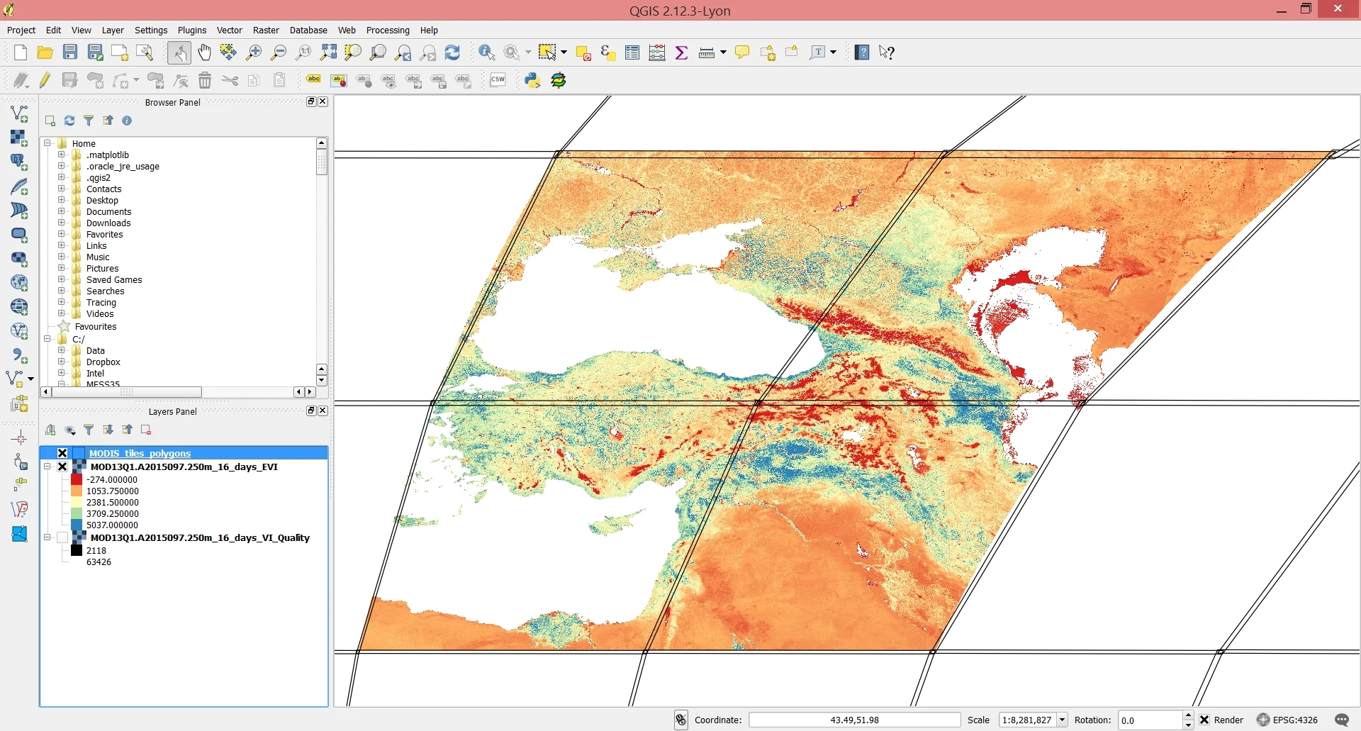
There’s a neat little function in the MODIS package called runGdal that allows, with just a few lines of code, to a) download MODIS data over particular vertical and horizontal coordinates b) extract the desired layer(s) from the HDF-EOS file c) reproject and mosaic your data, and d) save your imagery in geotiff format.
Working with HDF-EOS files in R: convert, project and mosaic

Hierarchical Data Format – Earth Observing System, otherwise known as HDF-EOS or simply HDF, files are the prescribed format for data products from the NASA Earth Observing System satellites: Terra, Aqua and Aura.